Marine Weather and Tide Forecast for Carteret, NJ
 | Sunrise 6:35 AM Sunset 7:24 PM Moonrise 10:28 PM Moonset 7:25 AM |
Marine Forecasts
NOTE: Zones were updated 3/20/2025. If your report is out of date, please click Edit
ANZ338 NEw York Harbor- 257 Am Edt Sat Apr 4 2026
Today - NW winds around 5 kt, becoming N late this morning, then becoming E early this afternoon, increasing to 15 to 20 kt with occasional gusts up to 25 kt late. Waves 1 ft or less, then around 2 ft this afternoon. Wave detail: E 1 ft at 2 seconds. Patchy fog early this morning. Slight chance of rain late. Vsby 1 to 3 nm early this morning.
Tonight - E winds 20 to 25 kt, diminishing to 15 to 20 kt after midnight. Waves 2 to 3 ft. Wave detail: E 3 ft at 3 seconds. Chance of rain. Slight chance of tstms after midnight.
Sun - S winds 10 to 15 kt, becoming W in the afternoon. Waves around 2 ft. Wave detail: se 2 ft at 3 seconds. Rain.
Sun night - W winds 15 to 20 kt. Waves 2 to 3 ft. Wave detail: W 2 ft at 2 seconds. Chance of rain in the evening.
Mon - W winds 10 to 15 kt with gusts up to 20 kt. Waves around 2 ft. Wave detail: nw 1 ft at 2 seconds.
Mon night - W winds 10 to 15 kt, diminishing to 5 to 10 kt after midnight. Waves around 2 ft in the evening, then 1 ft or less. Wave detail: W 1 ft at 2 seconds.
Tue - W winds 15 to 20 kt. Waves around 2 ft.
Tue night - N winds 15 to 20 kt. Waves around 2 ft.
Wed - E winds 5 to 10 kt. Waves 1 ft or less.
Wed night - S winds 10 to 15 kt. Waves around 2 ft.
winds and waves may be higher in and near tstms.
winds and waves may be higher in and near tstms.
ANZ300 257 Am Edt Sat Apr 4 2026
Synopsis for the long island and connecticut coastal waters - A stalled front to our south today advances back north tonight. Then another cold front passes through on Sunday. Strong canadian high pres will then build se into the northern plains and midwest early next week while a weak low pres trough remains nearby.
7 Day Forecast for Marine Location Near Carteret, NJ

NEW! Add second zone forecast
| Carteret Click for Map Sat -- 04:40 AM EDT -0.18 feet Low Tide Sat -- 06:35 AM EDT Sunrise Sat -- 07:25 AM EDT Moonset Sat -- 10:23 AM EDT 4.85 feet High Tide Sat -- 04:43 PM EDT 0.15 feet Low Tide Sat -- 07:24 PM EDT Sunset Sat -- 10:28 PM EDT Moonrise Sat -- 10:39 PM EDT 5.54 feet High Tide Tide / Current data from XTide NOT FOR NAVIGATION |
Carteret, Arthur Kill, New Jersey, Tide feet
| 12 am |
| 4.5 |
| 1 am |
| 3.2 |
| 2 am |
| 1.9 |
| 3 am |
| 0.8 |
| 4 am |
| -0 |
| 5 am |
| -0.1 |
| 6 am |
| 0.6 |
| 7 am |
| 1.9 |
| 8 am |
| 3.3 |
| 9 am |
| 4.3 |
| 10 am |
| 4.8 |
| 11 am |
| 4.7 |
| 12 pm |
| 4.1 |
| 1 pm |
| 3.1 |
| 2 pm |
| 2 |
| 3 pm |
| 1 |
| 4 pm |
| 0.3 |
| 5 pm |
| 0.2 |
| 6 pm |
| 0.8 |
| 7 pm |
| 2.1 |
| 8 pm |
| 3.6 |
| 9 pm |
| 4.7 |
| 10 pm |
| 5.4 |
| 11 pm |
| 5.5 |
| Tremley Point (depth 7 ft) Click for Map Flood direction 24 true Ebb direction 211 true Sat -- 03:34 AM EDT -0.99 knots Max Ebb Sat -- 06:30 AM EDT 0.00 knots Slack Sat -- 06:35 AM EDT Sunrise Sat -- 07:25 AM EDT Moonset Sat -- 09:22 AM EDT 0.68 knots Max Flood Sat -- 12:15 PM EDT -0.00 knots Slack Sat -- 03:26 PM EDT -0.79 knots Max Ebb Sat -- 06:32 PM EDT 0.00 knots Slack Sat -- 07:24 PM EDT Sunset Sat -- 09:21 PM EDT 0.79 knots Max Flood Sat -- 10:28 PM EDT Moonrise Tide / Current data from XTide NOT FOR NAVIGATION |
Tremley Point (depth 7 ft), Arthur Kill, New York Current, knots
| 12 am |
| -0 |
| 1 am |
| -0.6 |
| 2 am |
| -0.9 |
| 3 am |
| -1 |
| 4 am |
| -1 |
| 5 am |
| -0.8 |
| 6 am |
| -0.3 |
| 7 am |
| 0.3 |
| 8 am |
| 0.6 |
| 9 am |
| 0.7 |
| 10 am |
| 0.7 |
| 11 am |
| 0.5 |
| 12 pm |
| 0.1 |
| 1 pm |
| -0.4 |
| 2 pm |
| -0.7 |
| 3 pm |
| -0.8 |
| 4 pm |
| -0.8 |
| 5 pm |
| -0.7 |
| 6 pm |
| -0.3 |
| 7 pm |
| 0.2 |
| 8 pm |
| 0.6 |
| 9 pm |
| 0.8 |
| 10 pm |
| 0.8 |
| 11 pm |
| 0.7 |
Area Discussion for New York City/Upton, NY
Hide HelpNOTE: mouseover dotted underlined text for definition
FXUS61 KOKX 041135 AFDOKX
Area Forecast Discussion National Weather Service New York NY 735 AM EDT Sat Apr 4 2026
WHAT HAS CHANGED
Updated for 12Z Aviation.
KEY MESSAGES
1. Periods of fog and drizzle possible through late tonight, ending with a period of rain from a cold frontal passage on Sunday.
2. Cooler, quieter conditions settle in mid next week.
DISCUSSION
KEY MESSAGE 1
High pressure builds north of the area today as a low pressure system develops well west of the area.
A decaying cold front pushes through the area early morning allowing a S/W flow to shift more NW/N. High pressure north of the area shifts east through the day allowing flow to shift more NE, reinforcing a more marine airmass back over the area late today. This will prevent high temperatures from climbing too much today, generally peaking in the upper 50s to low 60s along the coast with perhaps middle to upper 60s for western areas.
The NE flow also brings the chance of low stratus and fog development tonight as a strongly inverted low level will trap moisture in the BL.
The weak front once again stalls near or just south of the area tonight. As the frontal system from the west approaches into Sunday, the front may move back north as a weak warm front, allowing for the development of scattered showers over the area late tonight. The associated cold front will gradually push through on Sunday, bringing a period of rainfall to the entire area as the front pushes through. Instability will be low but a few rumbles of thunder can't be ruled out along with pockets of moderate to possibly briefly heavy rainfall. Total rainfall accumulations of 0.25-0.5 inches are possible across the entire area.
Following the frontal passage, conditions look to dry out as high pressure noses in from the south Sunday night into Monday.
KEY MESSAGE 2
Weak front moves through Monday night into Tuesday, with conditions turning cooler and quieter behind it through mid next week. A few scattered showers, perhaps even mixing with wet snow across the interior, are possible with the fropa early Tue AM, but coverage appears spotty and QPF is light.
Surface high pressure then builds over the region in its wake with dry conditions expected. The high ushers in a cool Canadian air mass, with daytime temperatures likely in the 40s and 50s, or about 5 to 10 degrees below normal for early April.
These cooler conditions become more seasonable by Thursday with perhaps a warming trend into next weekend.
AVIATION /12Z SATURDAY THROUGH WEDNESDAY/
A cold front passes this morning. High pressure builds in today, and over the Atlc tngt. A stronger cold front approaches from the W on Sun.
Areas of IFR possible this mrng, but mainly MVFR or better is expected attm. Primarily VFR aft 14Z, then fog and perhaps DZ develops tngt with IFR or lower likely. Rain develops aft 12Z Sun ahead of the next front.
VRB winds become N/NE this morning after the fropa. Winds then become E/SE 10-20 kt this afternoon and eve, before decreasing overnight. Winds veer to the SW and increase again Sun mrng before the next fropa.
Marginal LLWS ern arpts Sun mrng, and has been included in the TAF for ISP.
...NY Metro (KEWR/KLGA/KJFK/KTEB) TAF Uncertainty...
Fog and DZ coverage could be quicker and more widespread tngt, however timing likely remains aft 00Z.
OUTLOOK FOR 12Z SUNDAY THROUGH WEDNESDAY
Sunday: IFR/LIFR cond with fog and low stratus in the morning, otherwise showers with MVFR cond. Improving to VFR by evening.
SW winds G20kt daytime, becoming NW late in the day.
Monday: VFR. W-NW winds G15-20 kt.
Tuesday: Mainly VFR. MVFR or lower possible in any showers. W winds around 10 kt with G15-20 kt.
Wednesday: MVFR or lower possible in any showers. N winds becoming NE at 10 kt or less.
Detailed information, including hourly TAF wind component forecasts, can be found at: https:/ www.weather.gov/zny/n90
MARINE
A Small Craft Advisory on the ocean has been extended through tonight. While conditions may drop below SCA this morning, gusts will once again approach 25 kt this afternoon with seas right around 5 feet through tonight, even as gusts drop off.
An approaching frontal system will lead to climbing seas and stronger winds. Gusts of near 35 kt are possible on Sunday with a Gale Watch remaining in effect for portions of the ocean.
Decreasing winds and seas on Mon, then all waters blw SCA lvls through at least Wednesday.
OKX WATCHES/WARNINGS/ADVISORIES
CT...None.
NY...None.
NJ...None.
MARINE...Small Craft Advisory until 8 AM EDT Sunday for ANZ350-353-355.
Gale Watch from Sunday morning through Sunday afternoon for ANZ350-353.
| Stations | Dist | Age | Wind | Air | Water | Waves | inHg | DewPt |
| MHRN6 | 4 mi | 58 min | NW 5.1G | |||||
| ROBN4 - 8530973 - Robins Reef, NJ | 9 mi | 58 min | 0G | 60°F | 30.18 | |||
| BATN6 - 8518750 - The Battery, NY | 13 mi | 58 min | 62°F | 45°F | 30.16 | |||
| SDHN4 - 8531680 - Sandy Hook, NJ | 14 mi | 58 min | WNW 2.9G | 53°F | 47°F | 30.18 | ||
| KPTN6 - 8516945 - Kings Point, NY | 28 mi | 58 min | N 4.1G | 61°F | 30.19 | |||
| 44065 - Entrance to New York Harbor | 31 mi | 48 min | S 7.8G | 46°F | 43°F | 30.19 | 45°F | |
| NBLP1 - 8548989 - Newbold, PA | 42 mi | 58 min | 0G | 63°F | 53°F | 30.18 |
Wind History for Robbins Reef, NJ
toggle option: (graph/table)
| Airport | Dist | Age | Wind kt | Vis | Sky | Weather | Air | DewPt | RH | inHg |
| KLDJ LINDEN,NJ | 3 sm | 23.9 hrs | NNE 05 | 10 sm | Clear | 68°F | 55°F | 64% | 30.17 | |
| KEWR NEWARK LIBERTY INTL,NJ | 7 sm | 36 min | N 11 | 10 sm | Partly Cloudy | 66°F | 57°F | 73% | 30.17 | |
| KJRB DOWNTOWN MANHATTAN/WALL ST,NY | 13 sm | 31 min | S 05 | 10 sm | Clear | 63°F | 30.19 | |||
| KMMU MORRISTOWN MUNI,NJ | 18 sm | 37 min | N 09 | 10 sm | Partly Cloudy | 64°F | 59°F | 83% | 30.19 | |
| KCDW ESSEX COUNTY,NJ | 20 sm | 34 min | no data | 10 sm | A Few Clouds | 30.18 | ||||
| KTEB TETERBORO,NJ | 20 sm | 36 min | N 09G16 | 10 sm | Clear | 64°F | 55°F | 73% | 30.17 | |
| KLGA LAGUARDIA,NY | 22 sm | 36 min | N 05 | 10 sm | Partly Cloudy | 63°F | 55°F | 77% | 30.17 | |
| KJFK JOHN F KENNEDY INTL,NY | 23 sm | 36 min | NNW 08 | 10 sm | Mostly Cloudy | 66°F | 57°F | 73% | 30.18 |
Link to 1 hour of 5 minute data for KEWR
Terminal Aerodrome Forecast (TAF) for KEWR
Wind History Graph: EWR
(wind in knots)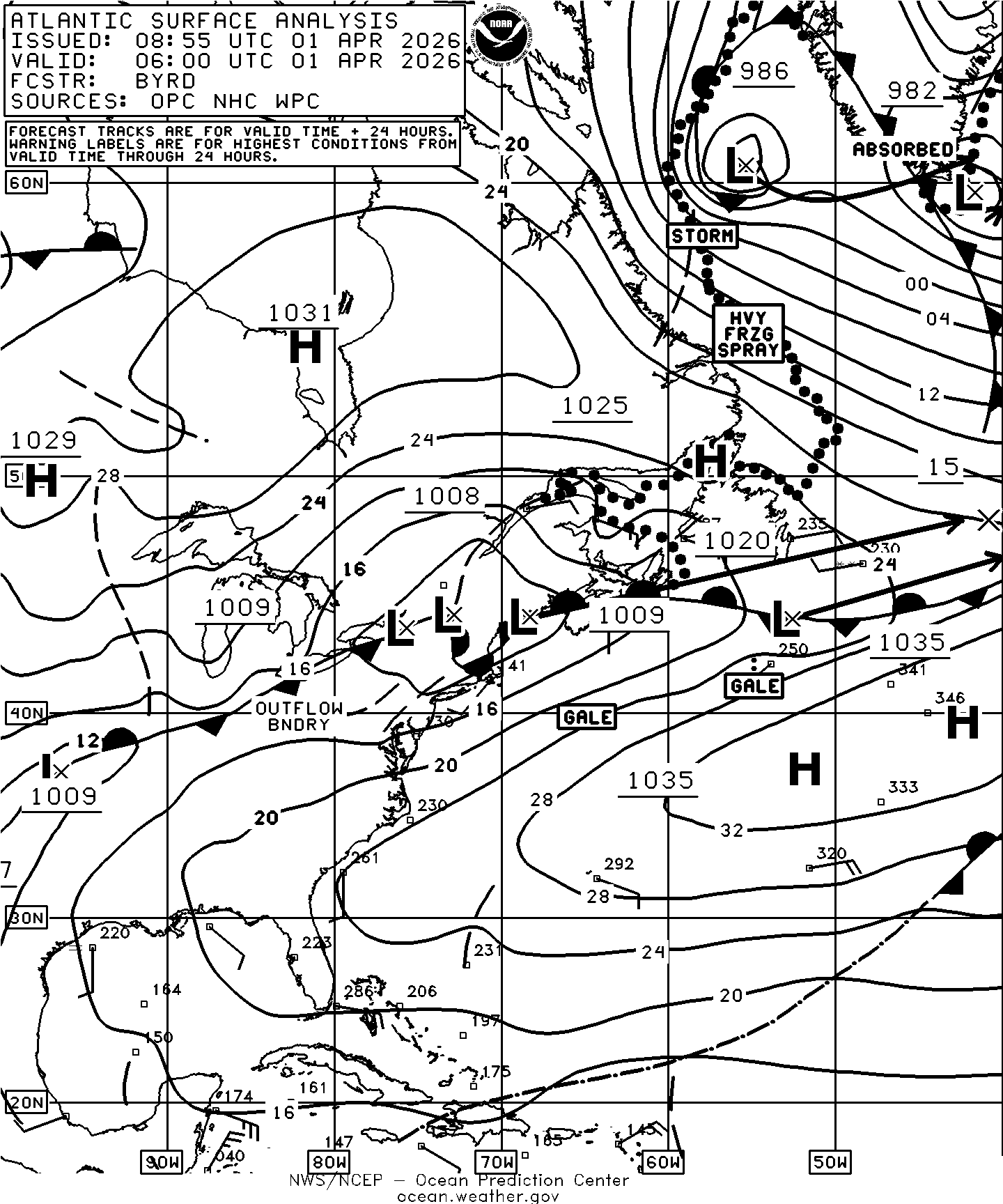
GEOS Local Image of north east
Edit Hide

Philadelphia, PA,

NOTICE: Some pages have affiliate links to Amazon. As an Amazon Associate, I earn from qualifying purchases. Please read website Cookie, Privacy, and Disclamers by clicking HERE. To contact me click HERE. For my YouTube page click HERE